Indy Junior....
We stumbled onto this program one day while reading other travel blogs. I thought it was the coolest thing to be able to have all the locations of where you were placed on a world map.
I never thought I would know how to use it, but when Jenni got the program, I tried to figure out how it worked. I don't have a clue how an .xml file works, but for those interested in how these points will pop up, the picture below gives us a clue.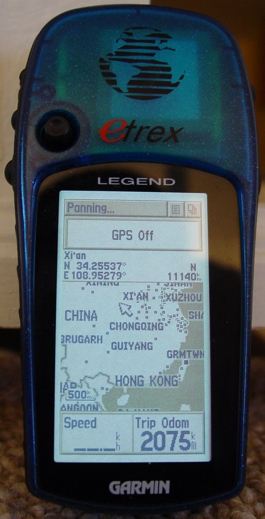
My trusty Etrex Legend GPS. Indy Jr. uses Latitude and Longitude decimal degrees to determine where to place the dot. My Legend just happens to be able to show where we are in decimal degrees! I'll be able to take the coordinates from anywhere we are of interest (Great Wall, Mt. Everest Base Camp, Taj Mahal...) and plug those values into the .xml file along with descriptions and links if you want and voila! A red dot!
SWEET!
A mention also needs to be given to the US Government for sending up all the satellites that we now use for these GPS's and opening them up to the public.
I tell you that after using them in the rental cars in Europe, it's an amazing tool!
posted by Ian at
6:22 p.m.
![]()
![]()


0 Comments:
Post a Comment
<< Home